Valmadrera - Rifugio Sev
General Notes:
Altitude Difference: 940 m
Time: 2h e 10'
Phisical Effort: Normal
Difficulty: E
Description:
The rifugio SEV, located at the foot of the Corni di Canzo,is a beautiful location ideal for your trekking;the starting point to reach it in this article is located in Valmadrera,a small town near Lecco.
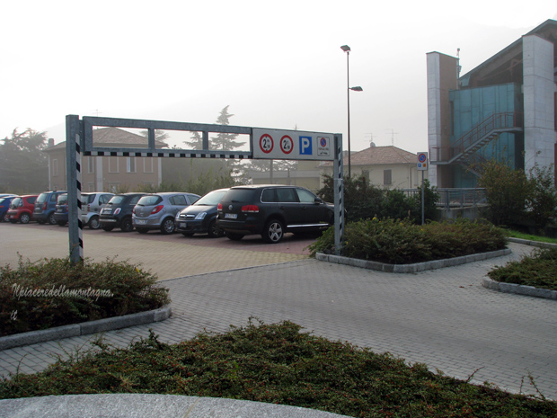
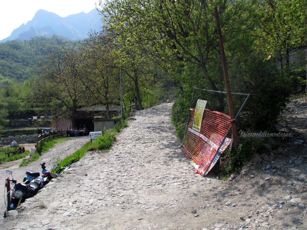
The car parks where to park our car you will find plenty in the area of the municipality of Valmadrera, just before the church.
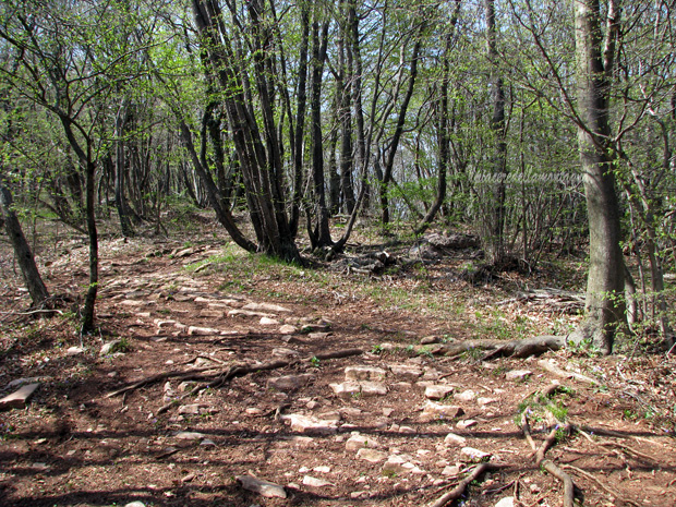
Once we leave the car we will have to walk until we reach the church of Valmadrera where 10 meters higher next to a bank we will find the first indicator signs.
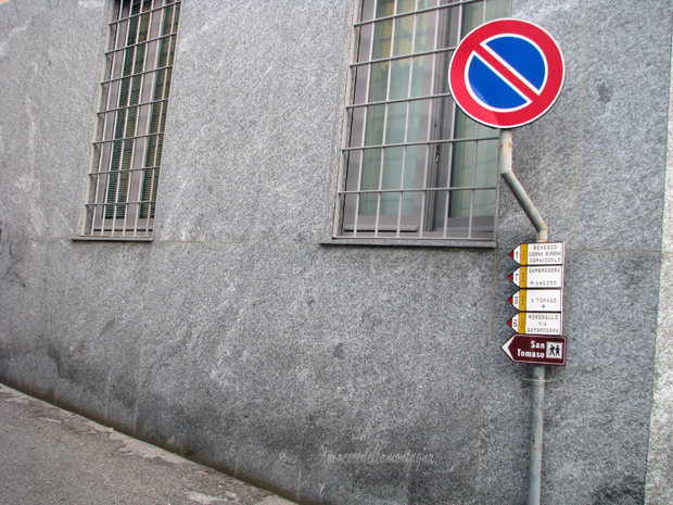
Always following the main road that the signs have indicated to us, slowly it will turn into a rural road used only for the passage of the few cars of the owners of the various plots of land.
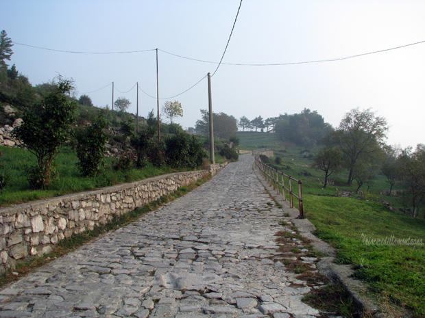
We will reach a crossroads where there is the Vars chapel where there will be a bifurcation of paths to the Moregallo and other destinations.We will turn left following the signs for San Tomaso,for about 30 ' we will continue to follow the rural road where sometimes the slopes are quite high until San Tomaso.
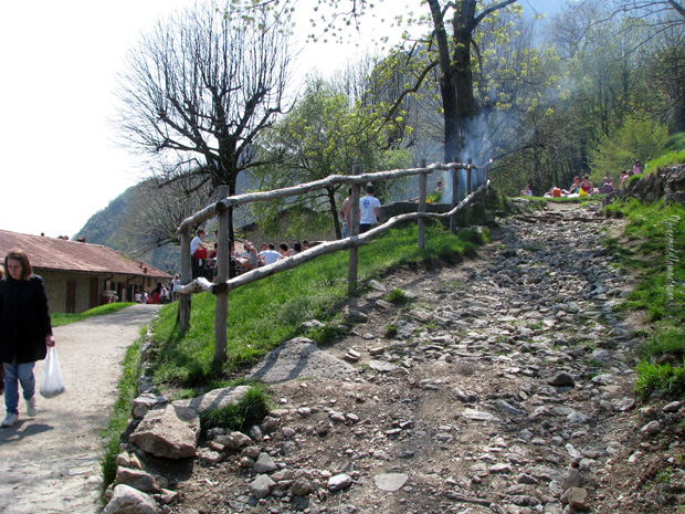
San Tomaso is a beautiful area with a wonderful view of Valmadrera and the lake, during the weekends you can stop to eat at a small hut located here.
Our route will arrive near the small hut and then turn right following the signs for Corni di canzo (Pianezzo) and fonte del Fo.
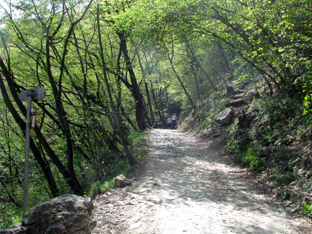
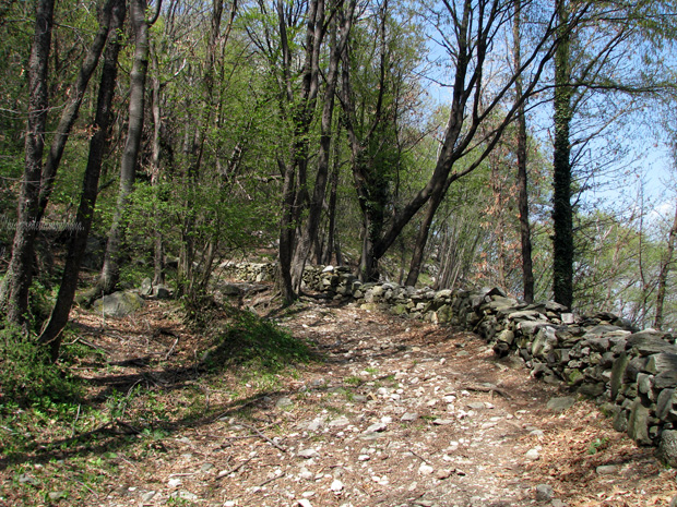
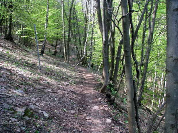
The path becomes a beautiful fairly wide path that begins to enter the vegetation climbing very clearly, thanks to fairly high slopes,passing in the vicinity of some walls that delimit the area of San Tomaso.
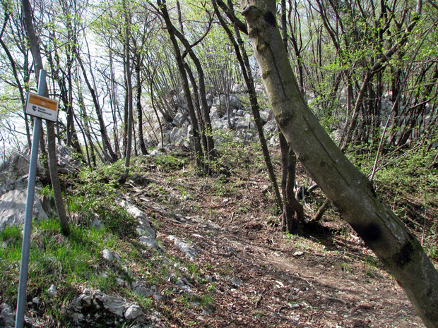
After about 20' the path will be divided into two paths,one on the right towards the Corno Rat that we will not have to follow, while on the left towards the Rifugio Sev and the Acqua del Fo with the signpost number 3.
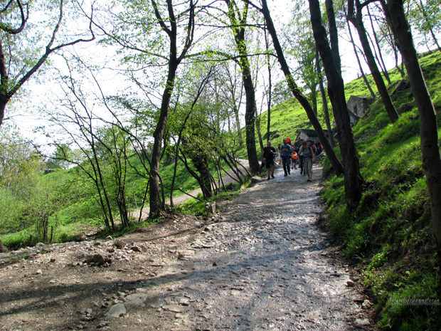
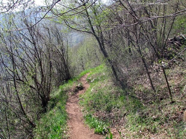
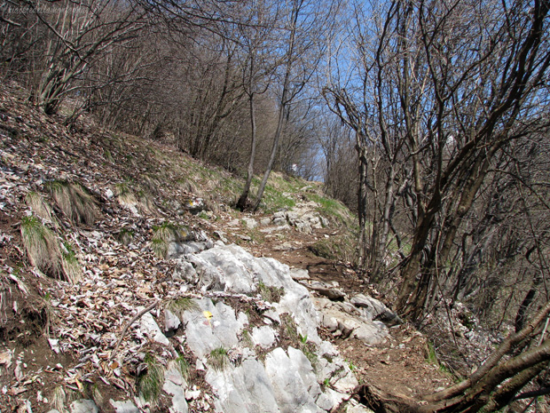
The path alternates some flat stretches with other fairly tiring stretches and in some places we will be forced to help us with our hands to continue climbing,the forest alternates with stretches where it branches off and allows you to admire on our left the Corno birone, Monte Rai and Cornizzolo.
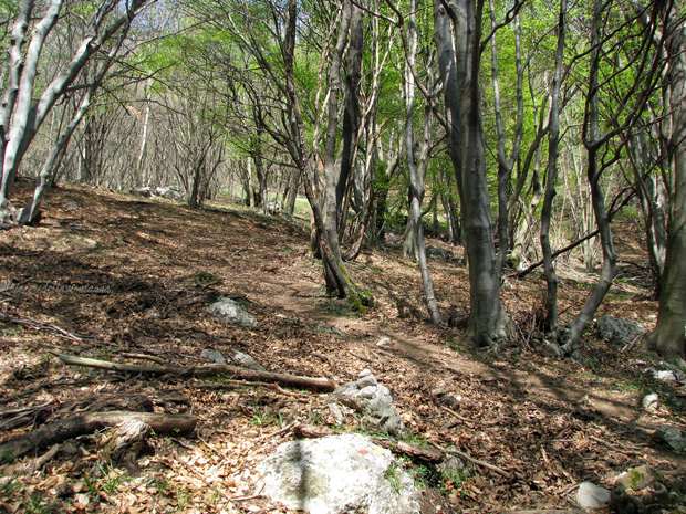
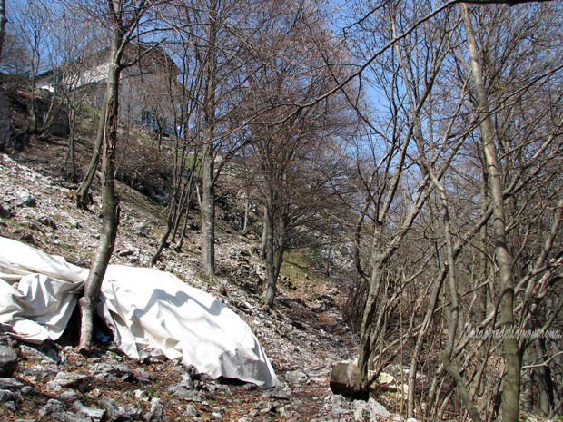
As soon as we pass this stretch the forest returns again dense continue for about 10' uphill and then go along a long flat stretch that leads us to a hut that is called "Casello del Latte",we are about half of our journey, we will make a short stretch downhill after which we will overcome a small stream and then go up in the middle of a beech forest for about 5' and reach the source of the Acqua del Fo, in this stretch the trail signs are not visible however the path that goes up to the right has a fairly clear track
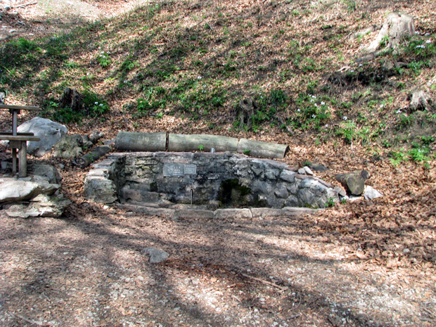
At the source of the Acqua del Fo there is a bench where you can rest before facing the most challenging stretch,once rested the path starts again behind the source with steep slopes.
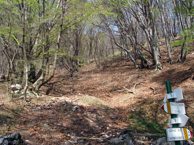
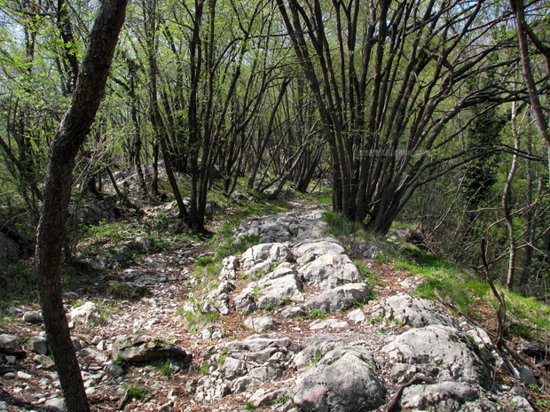
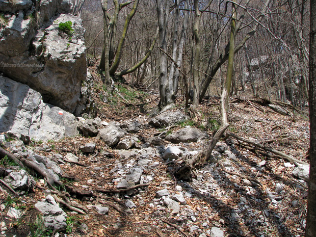
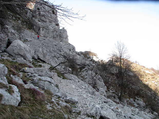
The path in a short time will become a rocky "ruin" that climbs on the slopes of the mountain for about 20' until we reach the junction for the Eastern Corno where we find many signposts.
The junction is in a stretch of path where the forest thinens,we will turn left following signs for Pianezzo, we will return after a few meters again in a beech forest but only for a few meters; following the stamps and keeping to the right with respect to the central horn,we will find ourselves on the landslide stone of the central horn,we will continue to follow the well-defined track until we make the last meters towards the refuge still immersed in a beech forest but only for a few meters.
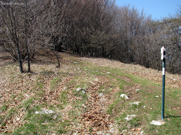
The path will come right at the foot of the refuge from which we could decide to climb the Corni di Canzo.