Bagni di Masino - Rifugio Omio
General Notes:
Altitude Difference: 928m
Time: 2h 15'
Phisical Effort: Normal
Difficulty: E
Description:
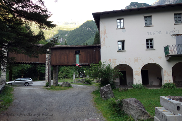
The Bagni di Masino, the point from which this excursion starts,are,better to say were closed since 2015, an ancient spa in the beautiful Val Masino,a side of the Valtellina.
Known since the Middle Ages,to reach them you need to follow a paved road that from the village of Ardenno leads us to the town,after about 18 km,passing through the villages of the valley: Masino, S. Martino etc...; the road ends right near the baths where we find a large parking lot where to leave our car, when the baths were still open the parking was paid but since they were closed, if there are no other signs or indication,the parking is completely free.
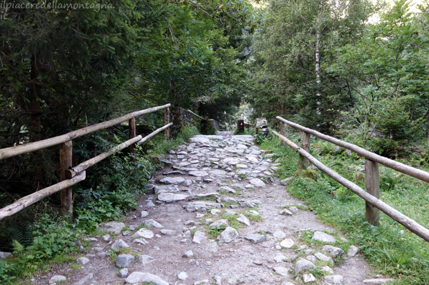
Once parking, we will follow a wide path that goes into some houses and after not even 100m we will find the deviation for the Ginaetti refuge, we will continue straight,ignoring this deviation,we overcome thanks to a stone bridge one of the many rivers that descend from Val Porcellizzo and after another 20m we will find a second bridge,made of wood this time,where we find the signs for Alpe Merdarola that we will not have to take;in fact we will not cross this wooden bridge but we will continue straight along a beautiful lawn.
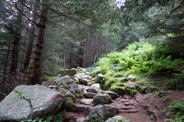
We will walk this meadow for a few tens of meters, before entering a beautiful deciduous forest,which will accompany us for most of the route;the slopes become immediately high and constant,we never have a moment of breath,we will find some deviations to better observe some waterfalls that descend from the various rocks, however the path remains always well signposted.
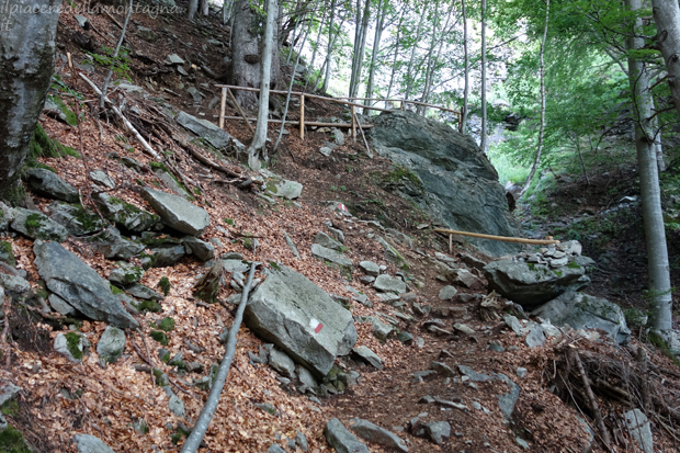
During the climb we also meet some wooden structure that delimits the path in the most landslide points,however free of real dangers.For about 1h we climb immersed in the woods and the path slowly becomes a series of natural steps.
About halfway up we arrive at Pian del Fango, a small clearing, where we can admire on our right the Val Porcellizzo with the Badile and Cengalo in the foreground;we cross this clearing where the path paves up to lead us to an old cabin where we return to the woods with the slopes that return to being high.
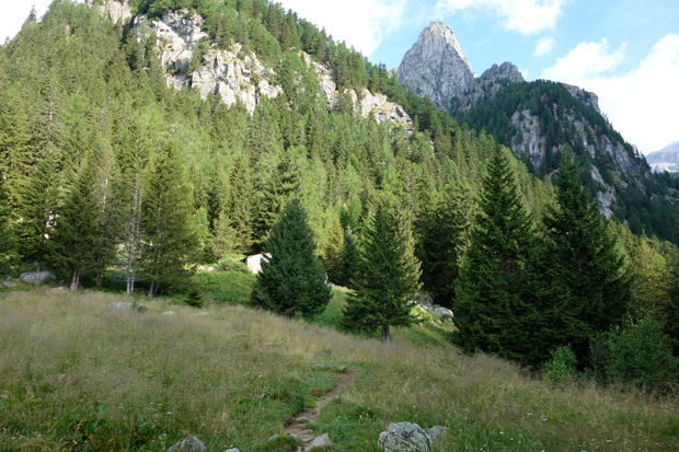
After about 30' since we passed the Pian del Fango, the woods thin out and we enter the Valle dell'Oro, we pass between some rocky boulders, present due to some landslides,and we pass a stream.
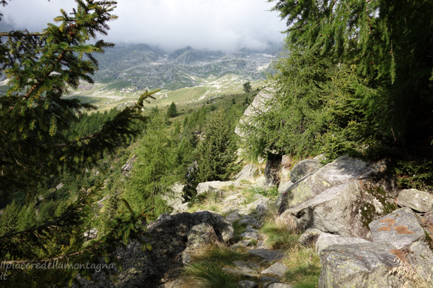
The path continues to climb with high slopes, however the natural steps that we have faced so far,leave room for large and smooth slabs of stone,sometimes on these rocks run streams that make them extremely slippery, so during the climb we must be careful of the supports and make sure that we are in a stable and not slippery point.
This stretch of path could be extremely tiring, we no longer have the protection of the vegetation, we climb on beautiful meadows completely exposed to the sun and on the hottest days it could create some annoyance.
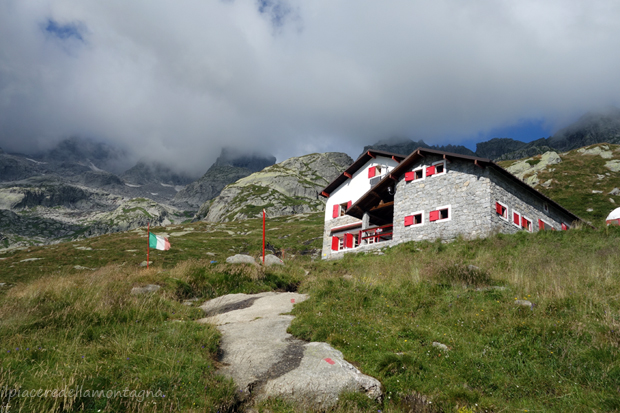
Just before reaching the refuge that we are able to see since the forest has thinned out,we will pass near a small rock hut from where in about 10' we will safely reach the refuge.
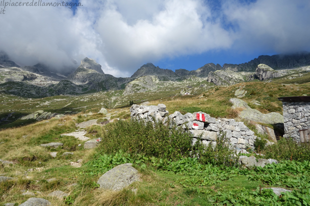
Even in the last meters the slopes always remain high and after about 2h and 10' of walking,for those who are more trained,it is possible to stay much below that time,we reach the refuge from which we can admire a beautiful view towards the Val Masino. From the refuge you can continue to other destinations such as the Gianetti refuge,through the Barbacan pass (EE).