Versasio (Lecco) - Rifugio Azzoni
General Notes:
Altitude Difference: 1257 m
Time: 3h 30'
Phisical Effort: Strong
Difficulty: E
Description:
The departure of our itinerary is the parking of the cable car in Versasio, free parking on weekdays,paid on holidays and weekend.
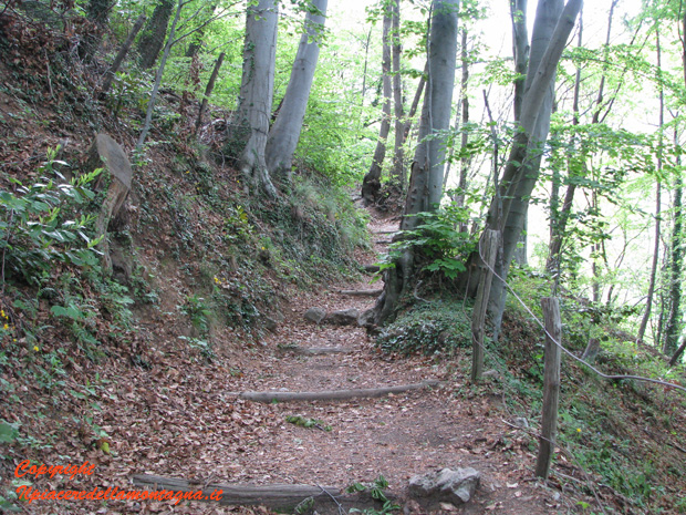
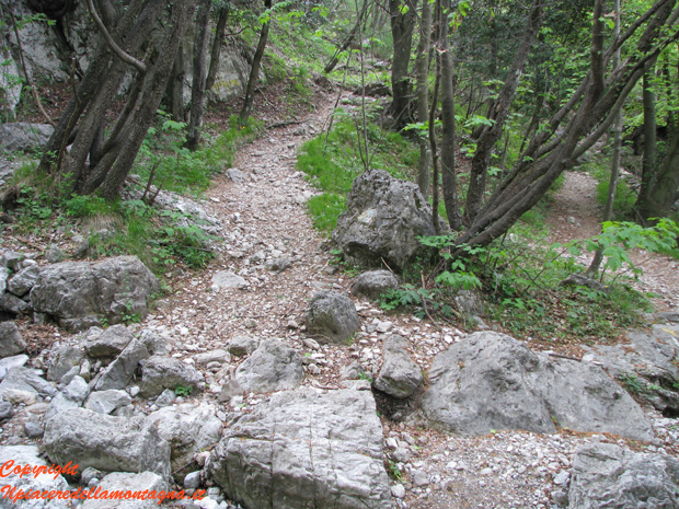
The first part of the itinerary is the same one that leads us to the Stoppani Refuge.
Once at the Stoppani Refuge, keeping the path always to the left of the refuge, we will begin to climb back into the woods, always following the trail signs with path number 1 indicated.
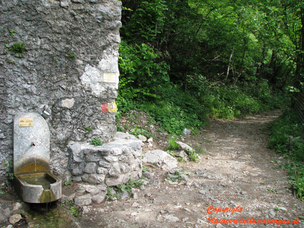
As soon as we pass the stoppani, the path that for a short time had gone up,spiano di netto,we pass next to a fountain of the source of the Kopp where we can rest and drink,and continue the flat path,passing a meadow and abite,we should avoid at the junction with signs for the piani d'erna to take it,always going straight on the flat path.
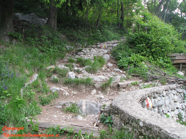
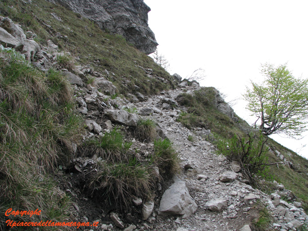
Returning to the woods, the path becomes slightly more difficult, especially after passing the Bione stream.
From this point forward the path becomes harder and the wide path that had accompanied us so far narrows,there are multiple paths,which can cut part of the path,but in order to avoid mistakes,we continue to follow the trail signs with the number 1.
In a short time we will get up a lot,and we can already see the Planes of herna in addition to the cresta della Giumenta and Magnodeno.
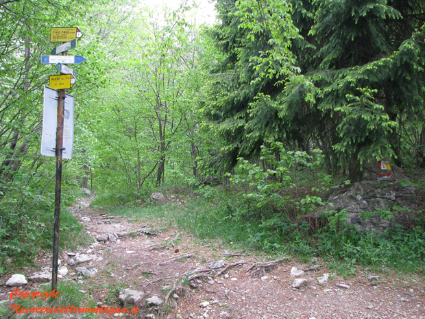
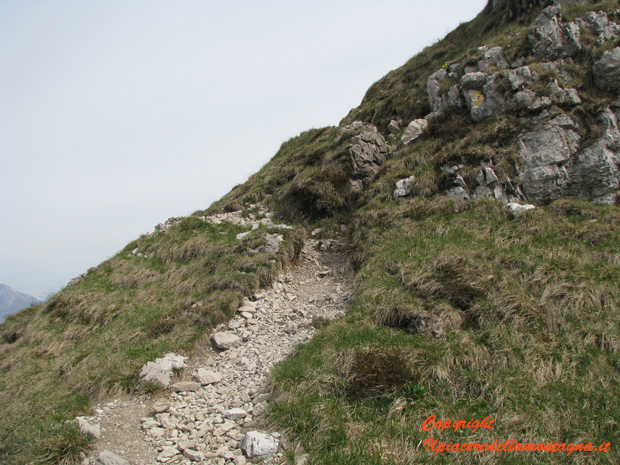
We arrive at a junction where the path splits, following the number 7 turning left we will go towards Erna, instead turning right following the path number 1 we will climb towards the Azzoni and the Resegone.
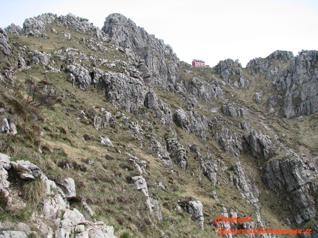
Now the path becomes much more difficult, it climbs next to the cliffs of the Resegone with some points where there are roots that we should overcome perhaps with the help of hands.
We arrive at a floor called Pian Beduletta, where we find on the left a cross in memory of a mountaineer from Lecco,and signs indicating the departure of the gamma 2.
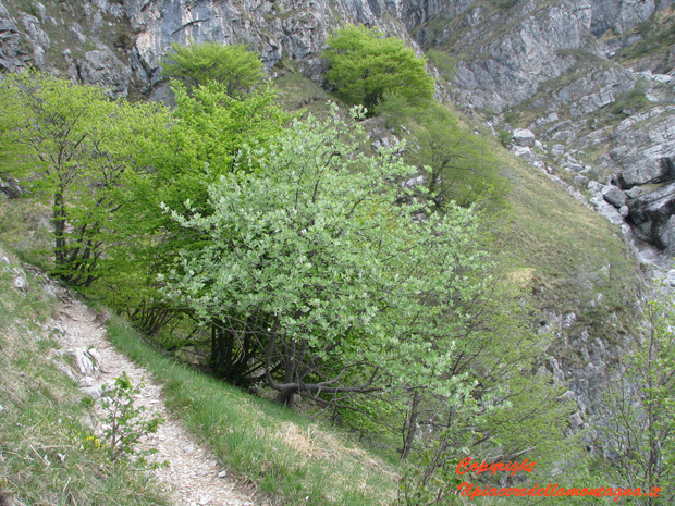
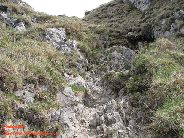
Continuing on our well-signposted path, we will overcome some rocky residues descended from the Canale Cotera,and after a short exposed stretch we return to the woods,with the path that goes up again to fairly steep hairpin bends.
After the forest, we reach the famous pian Serrada, here there is a small spring where we can stop to rest,this stretch of path is flat for about 300 m but just passed always keeping the path number 1 a detour that would have led us to the ferrata of the centenary,we begin to climb again with slopes much higher than the entire route.

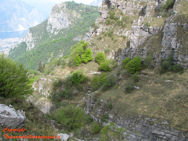
We are in a high mountain environment where the path sae in the middle of rocks,and most of the time we will also have to help us with our hands for the ascent,the path from now to the refuge always continues with these characteristics,except in the first part where in a stretch not dangerous, but quite exposed we find chains that give us extra security.
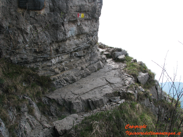
The last stretch, when the refuge is now well in sight, can be very difficult due to fatigue,however in a short time we arrive at the refuge,with the last 10 m of difference in height where steps allow us to reach the coveted goal.

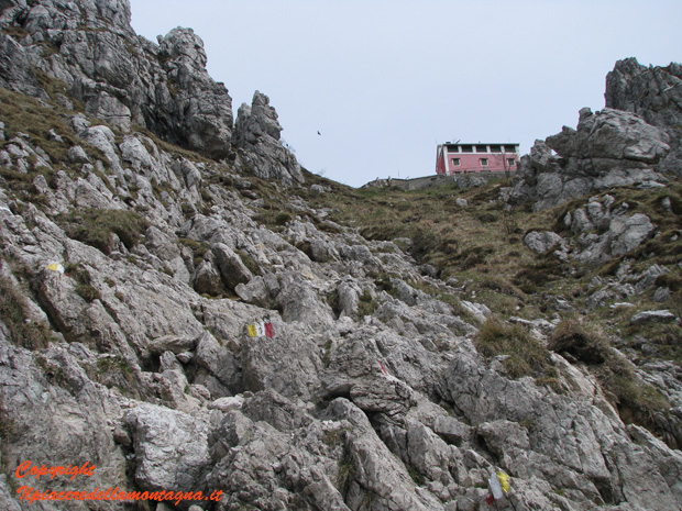
From the refuge it is possible in 5 minutes but also less reach the cross of Resegone at 1875 m.s.l.m,from where we have a beautiful view of the grigne,the lake and in the distance on the border peaks.
