Erve - Bivacco Magnodeno
General Notes:
Altitude Difference: 621 m
Time: 1h 30'
Phisical Effort: Normal
Difficulty:E
Description:
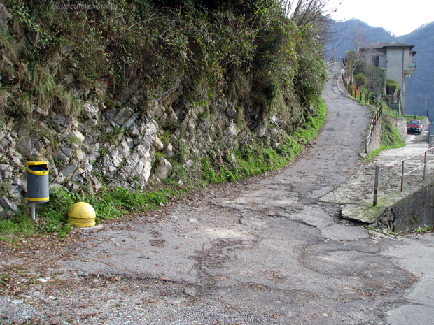
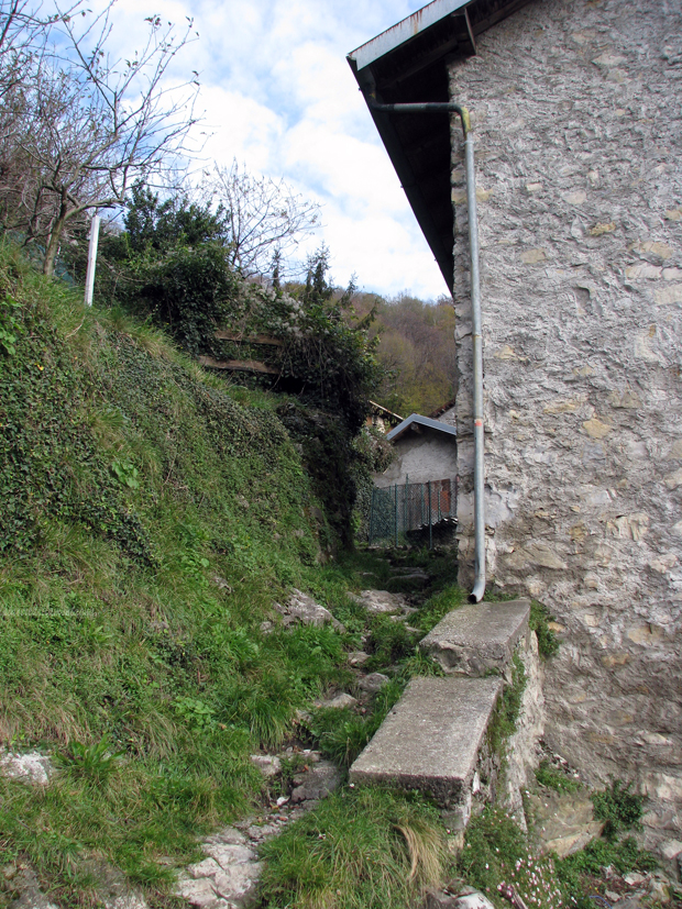
Erve is a small village located in the valley of S. Martino at 559 m.a.s.l,to reach it we will have to go to Calolziocorte,and at the traffic lights in the center turn towards Carenno,Rossino. We will begin to climb for about 3 km on a fairly narrow road that goes up with various hairpin bends until we meet the deviation to Erve, the road to Erve is narrow and carved into the rock;arrived at the village we will immediately turn left crossing a short bridge that will make us arrive near the town where keeping the right we will begin to follow Via Giovanni XXIII which becomes via Costalottiere, we will follow this road until on the right we will find a large free parking, signposted with a P.
Leaving the car we will begin to follow the road that they were already traveling in advance with our car, for about 300m, until we find a road that turns right and begins to climb with high slopes.
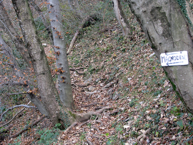
We will follow this road until its end near a house where there is a gate that blocks the road,to the left of the latter there is a small path that will lead us to a path placed above the houses.
Keeping to the left after a short flat stretch we will find a first indication for the Magnodeno that will make us turn right.
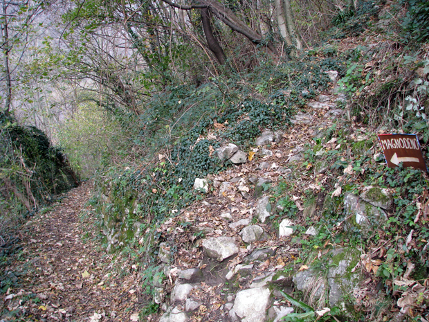
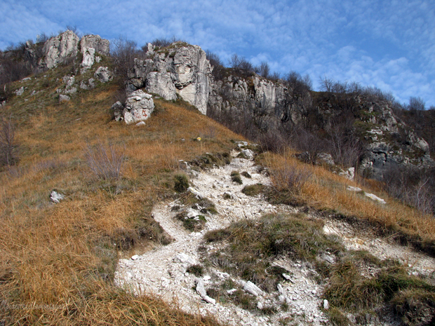
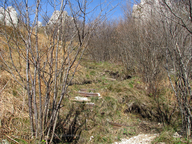
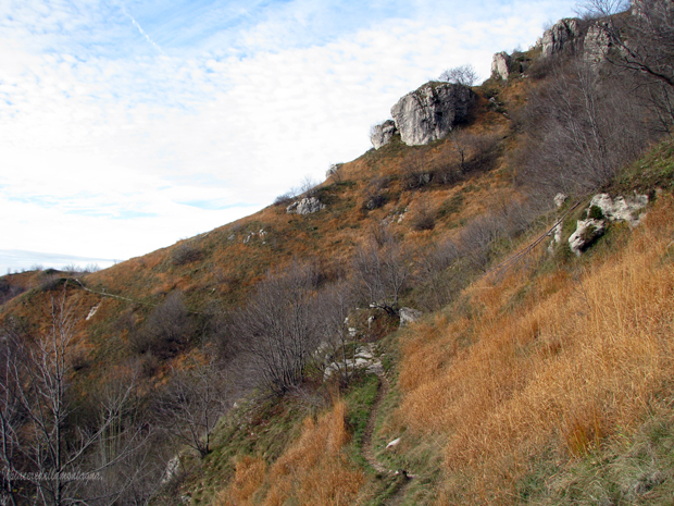
Initially the path climbs with medium and always constant slopes next to dry stone walls,on a stony bottom and roots,we will find a short stretch with high slopes where the path becomes a natural staircase with high slopes bordered on both sides by dry stone walls.
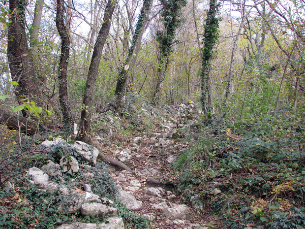
Along the climb we will also find some indications of the Province of Lecco that remind us that in the area there are huts used for hunting,the path after passing this short but intense natural staircase, continues to climb with medium slopes and with some hairpin bends that will lead us in a short time along one of the ridges that delimits the Magnodeno
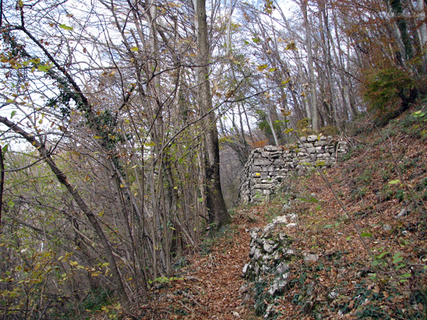
Once at the ridge we will find on our right a hut delemited by a fence,the path leaves the forest and begins to travel a long ridge from which we can already glimpse the summit and the Resegone.
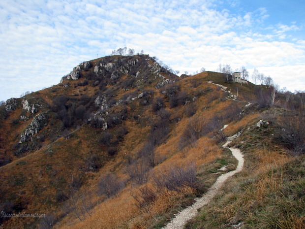
This stretch along the ridge does not present dangers,the path alternates flat sections with sections where the slopes are high,only in the last part of the ridge,we will find a small exposed stretch that does not create problems.
We will meet the path that goes up from Maggianico and turn right facing the last stretch of path,perhaps the hardest, because of the high slopes,in no time we will reach the top of the mountain where the bivouac and the cross is placed.