
Lago delle Scale - Monte delle Scale
General Notes:
Altitude Difference: 600m
Time: 2h
Phisical Effort: Normal
Difficulty: E
Description:
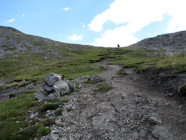
The path that leads from Lago delle scale to the top of Monte delle scale is a very easy path that in about 1h and 50' will lead us to the summit of the mountain,one of the most panoramic points of the Alta valtellina. The trail can also be carried out by the little ones,to reach a simple and rewarding summit.
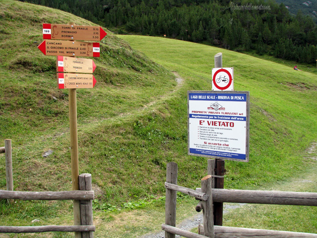
The start of the route is at the end of the lake of the stairs, where we will find a beautiful parking lot where we can leave our cars. The path starts near the parking lot, where we will find a small space to cross a fence and start our climb.
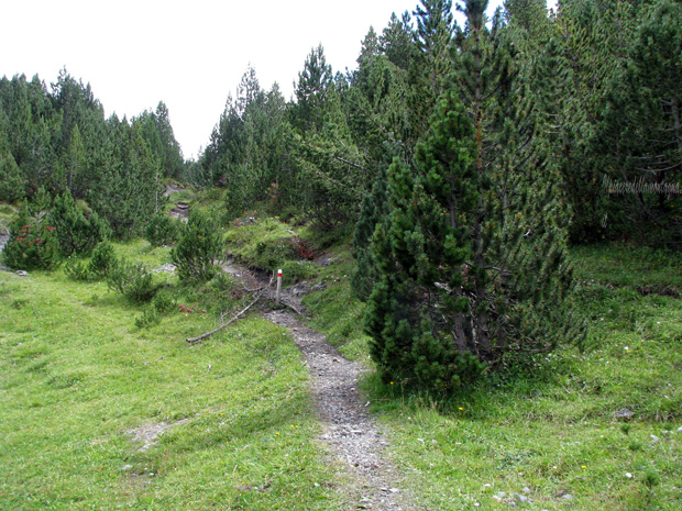
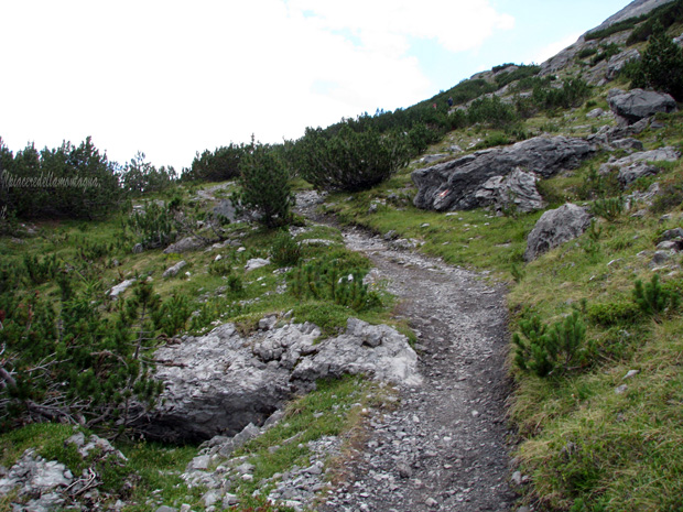
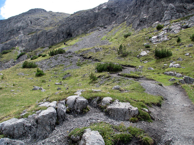
The route immediately presents itself with fairly high slopes alternating with flat moments, always immersed in a beautiful pine forest.
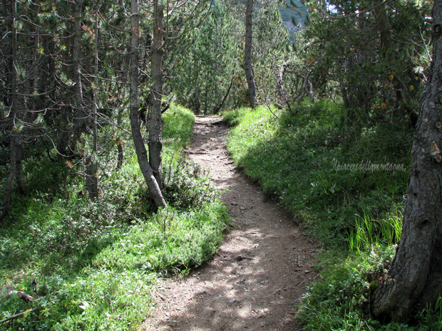
Unlike the route that goes up from the towers of Fraele, here (link) you will find the description of that route too,the path is quite narrow for its entirety.
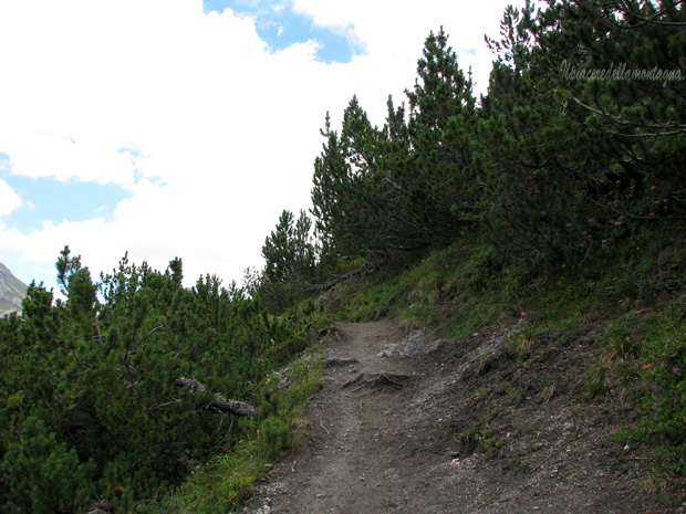
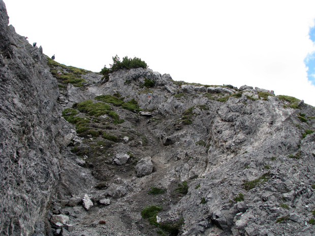
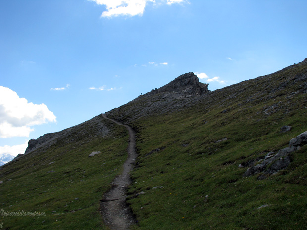
The path remains unchanged until we leave the pine forest,from this moment the slopes become high with a path that goes up with continuous zigzags;in some places the path becomes extremely challenging and we should help us about halfway to overcome some rocks with the help of hands.
In a short time we will reach a rest area with some benches and about 10 m above the entrance to the military fort of the First World War.
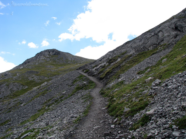
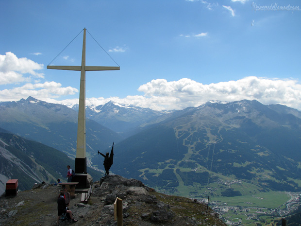
We will face the last efforts before the summit, an extremely panoramic point on the Bormio valley and in the distance you are also able to glimpse the stelvio with its summer ski area.
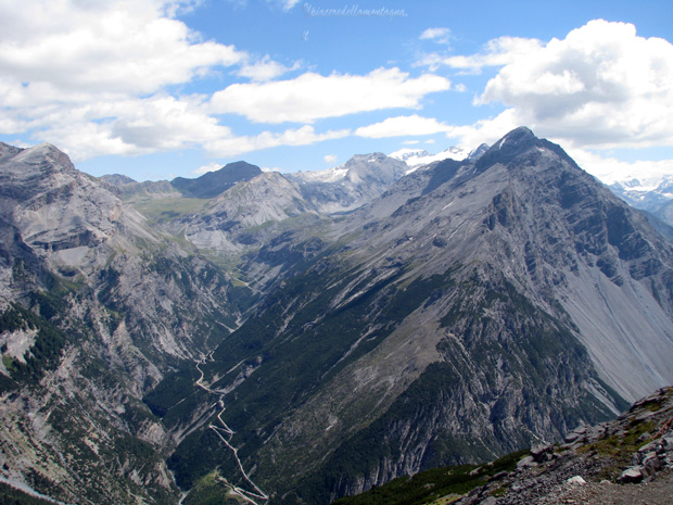
Compared to the path that goes up from the Towers this is less scenic although throughout the path we are able to see the Cancano lakes,but at the same time less challenging to face downhill,for this reason an extremely pleasant ride would be to climb from the towers and descend following this path.